Trail number
4
Trail length
1.8 kilometres
Elevation variance
60 metres
Trail type
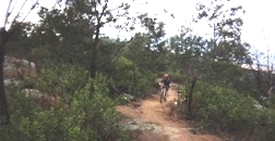
Single trail
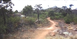
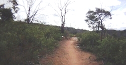
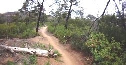
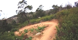
Trail surface
Smooth dirt, rocks and rock outcrops
Weather affected
Prone to be muddy after heavy rain
Trail condition sources
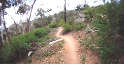
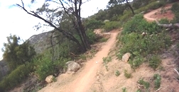
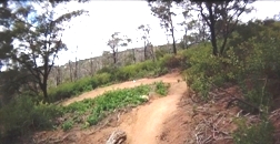
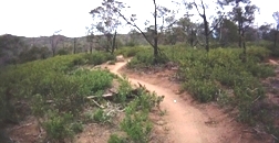
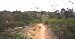
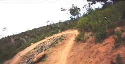
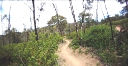
Trail features
Berms, good track to climb on to access tracks such as Cressy Descent.
Trail obstacles
Some step ups

Trail rating
Intermediate
Rating basis
IMBA
Night riding
Yes
Family Friendly
Younger MTBers could readily ride this course as long as they have a reasonable level of riding confidence.

Click Image For Trail Map
No GPX download
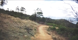
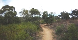
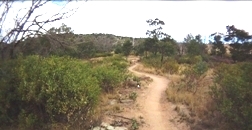
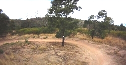
Rockwell Run was realigned post the 2010 Storm Recovery Works. The trail has been increased in length from 600 metres to 1800 metres and now more closely follows the contours of the climb rather than the previous alignment which dropped more quickly which created erosion issues with the trail.
The trail is designed to be a XC climbing trail to access the other trails at the top of the hill but is equally enjoyable as a downhill route as well. The trail is well bermed allowing you to largely maintain speed through the switchbacks.
 |
 |
 |
|---|
 |
 |
 |
|---|
 |
 |
 |
|---|
 |
 |
 |
|---|
 |
 |
 |
|---|
 |
|---|
 |
Parking is available at Drysdale Road. Access at southern side of Stockyards can be obtained from Great Circle Drive trailhead - parking is very limited here and you will have an uphill run back to the car. |
|---|---|
 |
Toilet facilities are available at Drysdale Road. |
 |
No drinking water is available. |
 |
No food or drinks are available in the immediate area. |
 |
No local information facilities are available. |